Lane L-06TECHPart 107 · Insured
Drone Tech
Coming soon
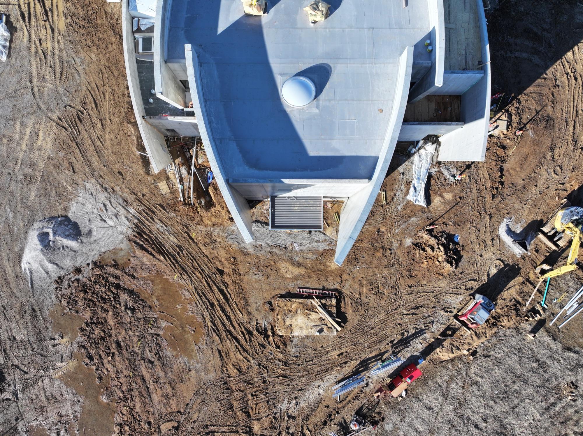
Beyond the beauty shot: survey-grade deliverables built from drone data. Orthomosaic maps you can measure against, 3D models you can orbit and inspect, and thermal imaging that finds what visible light misses. Flown to a plan, processed with care, and delivered in formats your engineer, insurer, or GIS team can actually use.
Deliverables in processing
Orthomosaic maps, 3D models, and thermal surveys are being prepared for display — each with a plain-English explanation of what it is and when you need it. The flights already happen; want yours mapped now?
Discuss your projectFrom the debrief
“The orthomosaic let our engineer measure setbacks without a second site visit. Clean data, delivered exactly as promised.”
Ready to book drone tech?
Tell me what you're shooting and where — you'll usually have a quote the same day.