← Drone Tech · OP 06.1
Mapping & Orthomosaics
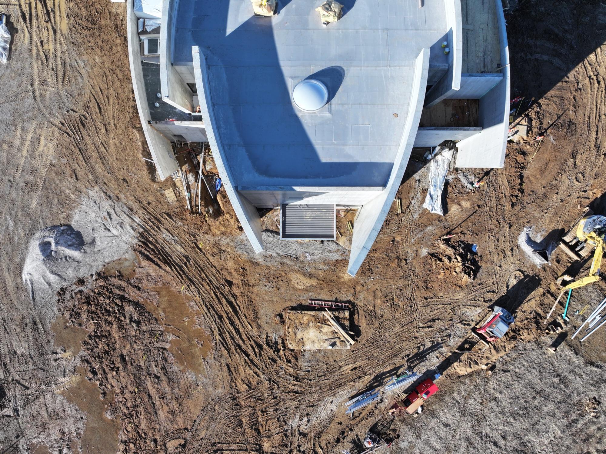
High-resolution orthomosaic maps stitched from hundreds of overlapping aerial frames — current, distortion-corrected, and measurable. Ideal for site planning, progress tracking, and land management.
ORTHOMOSAIC — DRAG TO PANSample asset — owner replaces
Site Orthomosaic — Measurable Aerial Map
Sample asset — a distortion-corrected, top-down map you can measure against. Real orthos are delivered as GeoTIFF plus a shareable web view.
Book mapping & orthomosaics.
Tell me about your project and you'll usually have a reply same-day.