Service S-03Aerial dataPart 107 · Insured

Insurance Documentation

Timestamped, GPS-intact records before repairs begin — organized so they hold up when questioned.

Claim and condition documentation for adjusters, carriers, and property owners. Pre-loss baseline imagery, post-storm damage passes, thermal moisture mapping on roofs, and orthomosaics you can measure against — organized and dated so the record holds up.

  • Photography
  • Orthomosaic
  • Thermal

What comes back

What you get back

  • ▸Pre-loss baseline set
  • ▸Post-event damage passes
  • ▸Thermal moisture map (roofs)
  • ▸Measurable orthomosaic

Files

Formats

  • JPEG / TIFF
  • Radiometric JPEG
  • GeoTIFF
  • PDF report

Tell me what software your team uses and the export will match it.

Starting rates

Where the number starts

Every job is quoted in writing against its own scope. These are the floors, so you know whether to keep reading. Travel shows as its own line; a quote holds for 30 days.

Insurance Documentation

from $350

per property

Claim or condition documentation — unedited, timestamped, GPS-intact sets organized by elevation and room.

  • ▸Complete unedited set with EXIF intact
  • ▸Folders by elevation / slope / room
  • ▸Roof orthomosaic where scoped
  • ▸24–48 hour delivery
  • ▸Multi-property rates for adjusters
Quote my job

Three or more sites, or a recurring schedule? Say so in the form — that changes the number.

What each engagement can produce

  • Inspection

    Photography · Video · Thermal

  • Construction Progress

    Photography · Video · Orthomosaic · Mapping & point clouds · 3D models

  • Insurance Documentation

    Photography · Orthomosaic · Thermal

  • Mapping & 3D

    Photography · Orthomosaic · Mapping & point clouds · 3D models

Photography

Ground and aerial stills, lit and composed for the use — inspection detail, progress record, or portfolio frame.

JPEG · TIFF · RAW on request

Video

Stabilized 4K ground and aerial footage, graded and trimmed, ready to cut or publish.

4K H.264 · ProRes on request

Orthomosaic

Hundreds of overlapping frames stitched into one distortion-corrected, top-down map you can measure against.

GeoTIFF · Web map link

Thermal

Radiometric thermal imagery paired with visible frames — moisture, heat loss, and electrical faults.

Radiometric JPEG · PDF report

Mapping & point clouds

Georeferenced point clouds and elevation models for engineers and surveyors.

LAS / LAZ · GeoTIFF DSM / DTM

3D models

Textured photogrammetry models you can orbit, section, and measure.

.glb · .obj · Web viewer link

Process

How this job runs

  1. 01

    Baseline or claim?

    Pre-loss documentation on a schedule, or a post-event pass after the storm. Either way the set is unedited and the EXIF stays intact.

  2. 02

    Grid the roof, walk the elevations

    Slope-by-slope close passes, thermal moisture mapping where the roof allows it, and an orthomosaic you can measure against.

  3. 03

    File it the way an adjuster reads it

    Folders by elevation, slope, and room. Dated. Archived for the life of the claim.

Proof

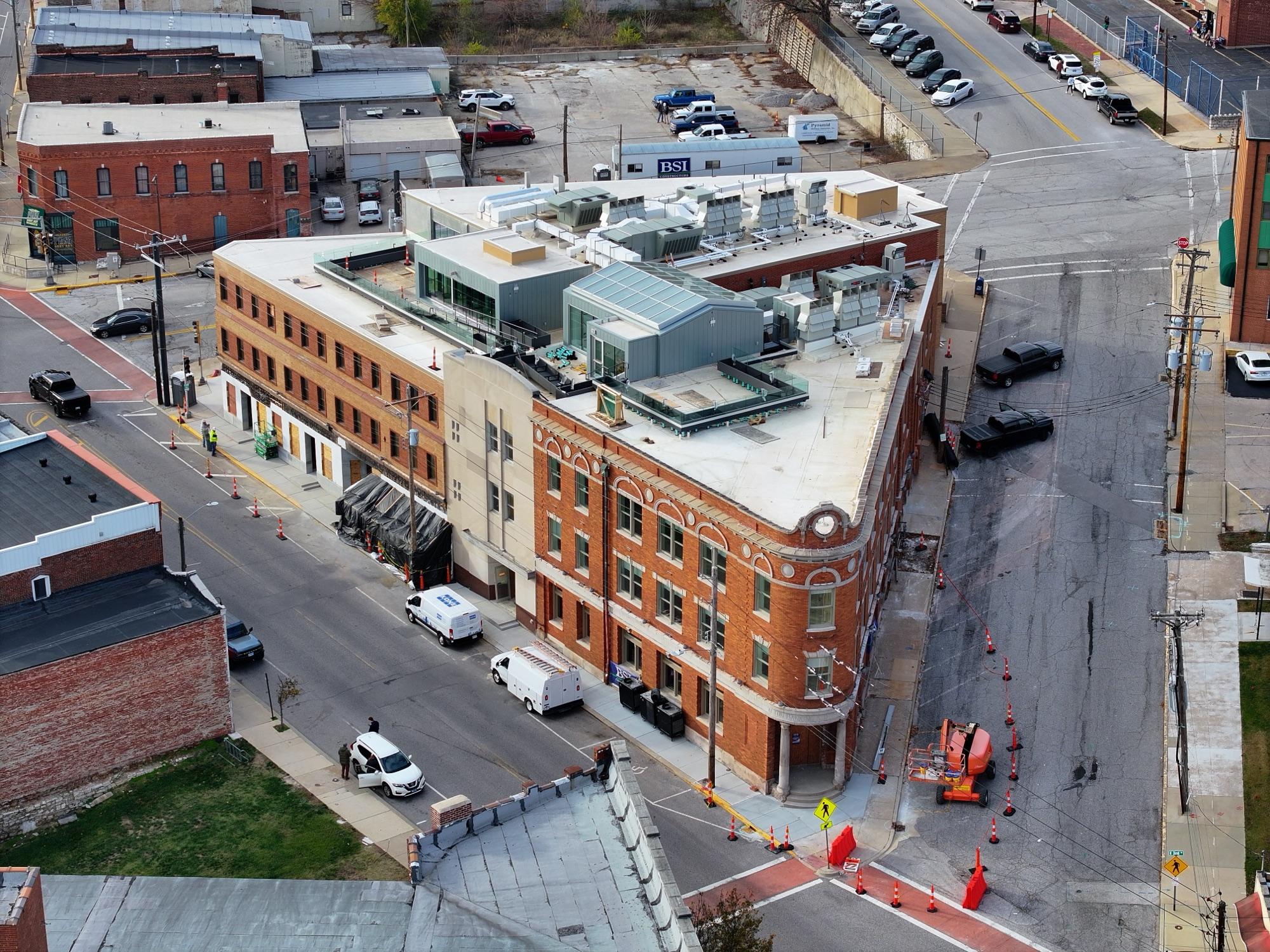
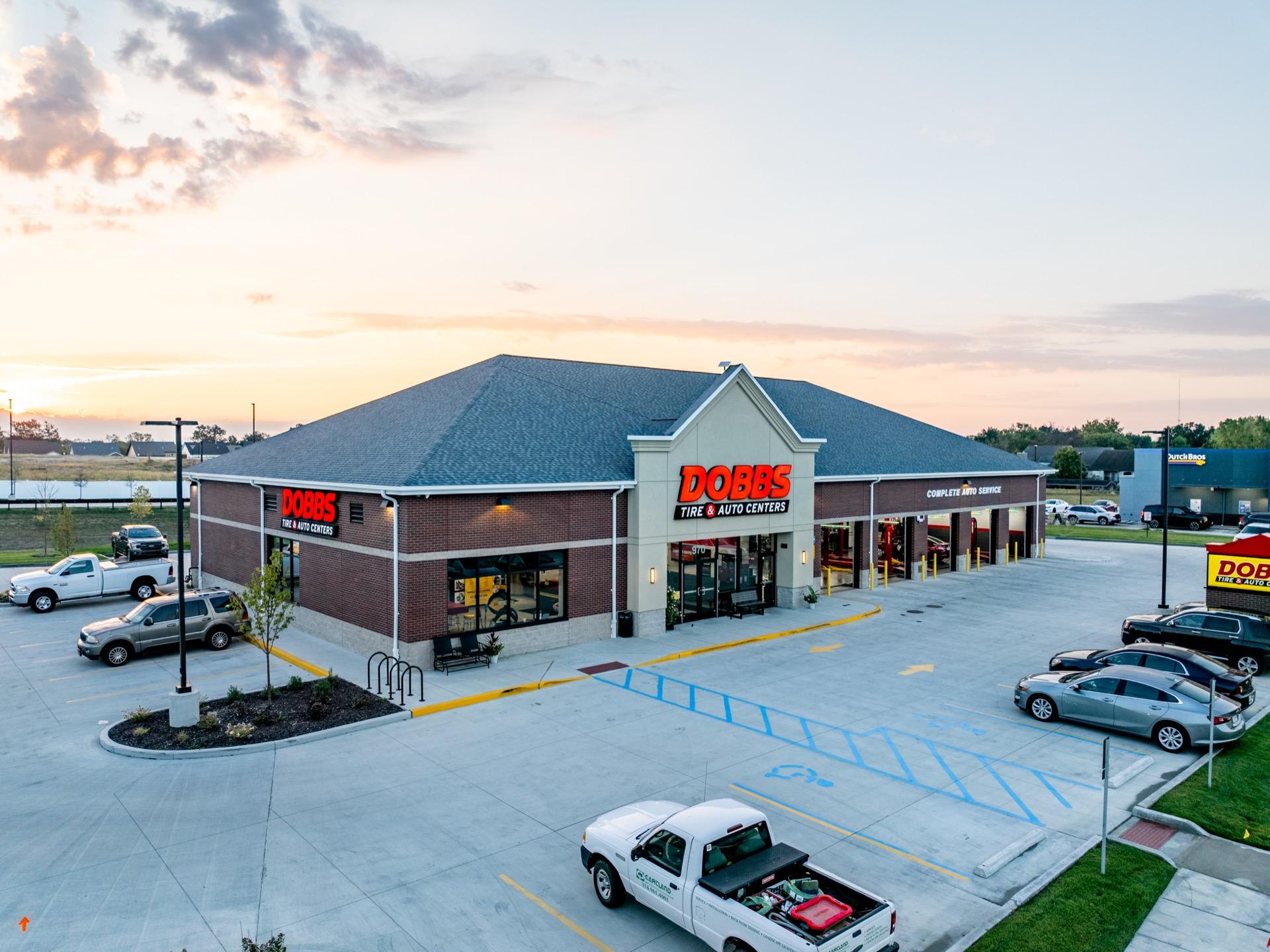
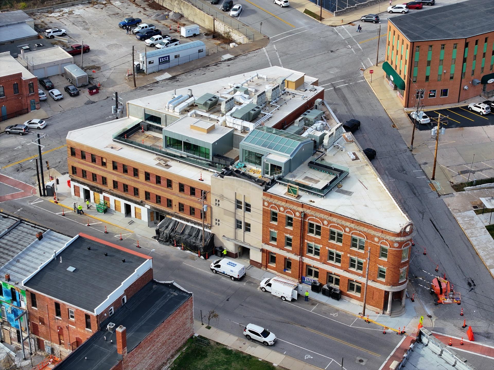
Insurance Documentation — recent frames

Historic brick commercial block from the air — full-elevation baseline condition documentation
Commercial property exterior from the air at dusk — baseline condition documentation

Before you ask

Usual questions

01Do I own the photos?
You get a licensing agreement that fits how you actually use the images — personal sessions include a print release, and commercial work includes usage licensing scoped to your channels.
02How fast do I get my files?
Inspection and insurance sets are typically delivered within 48 hours, headshots within 72, and mapping deliverables on the date agreed at quote — processing time depends on acreage and accuracy. Rush delivery is available; ask when booking.
03Are you licensed to fly drones commercially?
Yes — FAA Part 107 certified, with LAANC airspace authorization handled per flight and liability insurance on every job, ground or air.

From the debrief

“The roof set came back organized by slope with every anomaly flagged twice — thermal and visible. Our adjuster had nothing to ask.”
Placeholder — Facilities Manager · Commercial property portfolio · example quote
“The orthomosaic let our engineer measure setbacks without a second site visit. Clean data, delivered exactly as promised.”
Placeholder — Project Manager · Civil engineering firm · example quote

Get a number for insurance documentation.

Tell me about the site, the dates, and what has to come back — you'll usually have a number the same day.