Mapping & 3D Package
from $1,200
per site · scaled by acreage
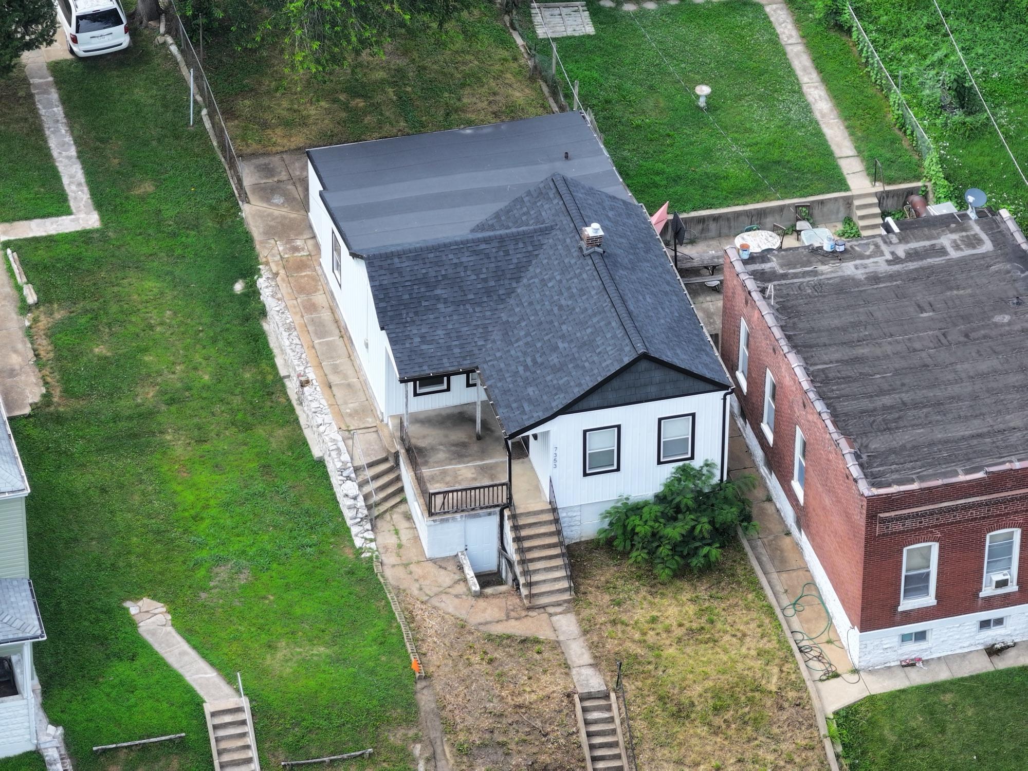
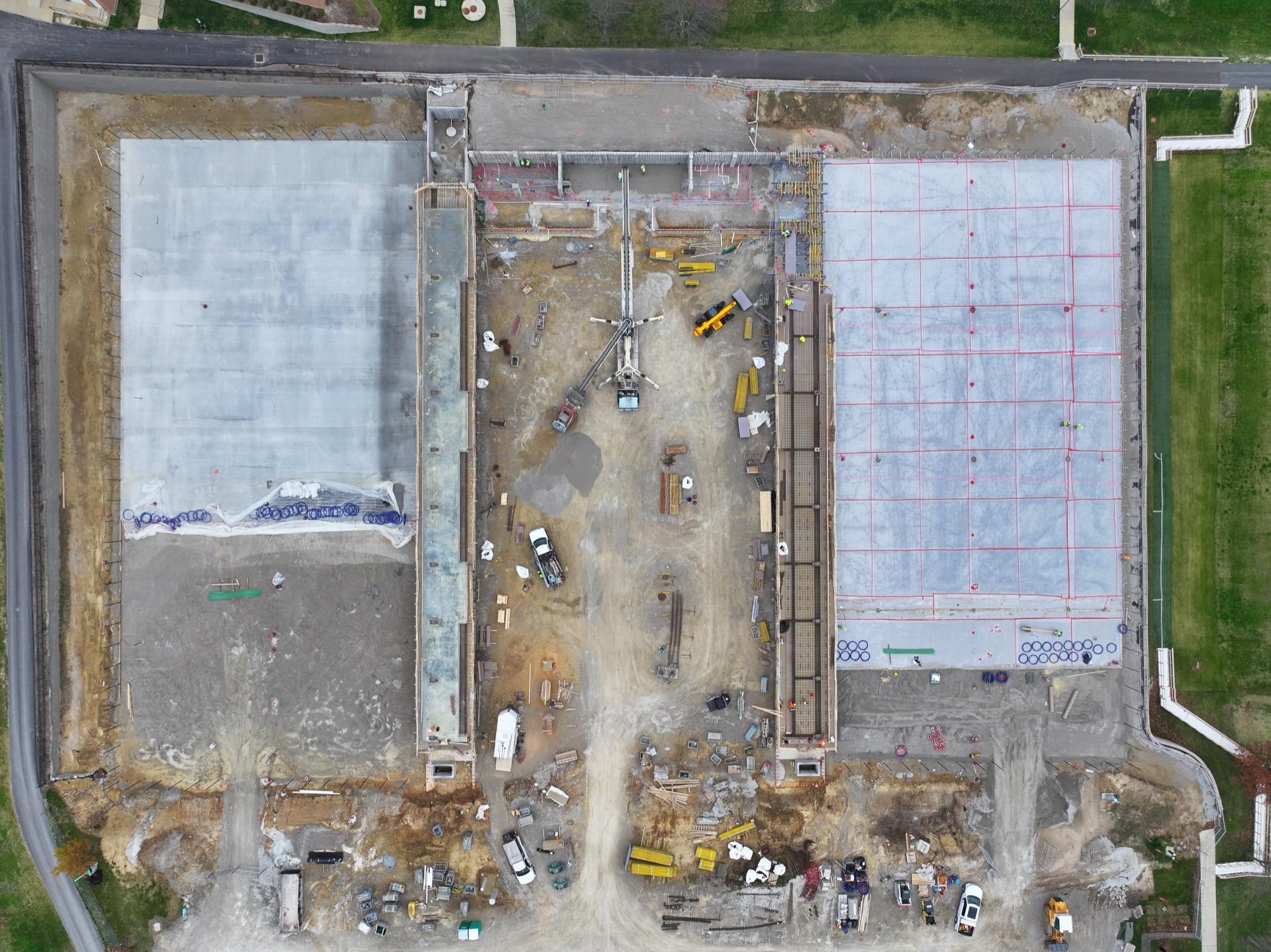
Planned photogrammetry flight producing a georeferenced orthomosaic, point cloud, and textured 3D model.
- ▸GeoTIFF orthomosaic + web viewer
- ▸LAS/LAZ point cloud
- ▸.glb/.obj model
- ▸Volumetrics on request